
The concept of smart cities is rapidly evolving, with urban planners, architects, and government bodies worldwide exploring ways to integrate technology and data into urban environments. These cities of the future focus on sustainability, efficient resource management, and enhanced quality of life for residents. One of the critical technologies helping to shape this future is 3D rendering and virtual tours. By providing realistic, immersive visuals of city designs and infrastructure, 3D renderings and virtual tours are playing a transformative role in how smart cities are planned, developed, and experienced.
In this blog, we will explore how 3D renderings and virtual tours are contributing to the development of smart cities and their influence on urban planning, sustainability, and community engagement.
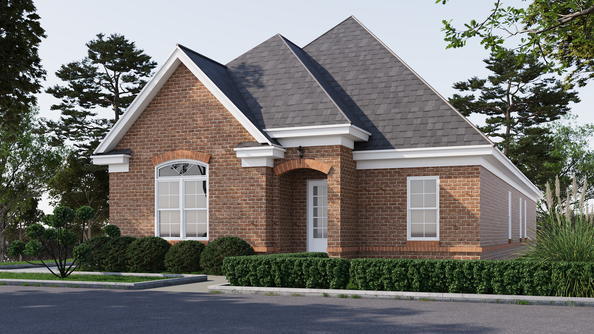
1. Revolutionizing Urban Planning and Design
Urban planning has always been a complex process, requiring a deep understanding of how city infrastructure, transportation systems, residential areas, and public spaces will interact. In the past, this process relied heavily on 2D blueprints and rough sketches, making it difficult for all stakeholders to fully grasp the scope of a project.
3D renderings offer a groundbreaking solution to this challenge by transforming city planning into a visual, immersive experience.
Urban planners can now create photorealistic 3D models of entire cities or neighborhoods, providing a comprehensive view of the design, down to minute details like building facades, green spaces, and street layouts. With 3D renderings, city officials and citizens can visualize how a city will look and feel before a single brick is laid, improving decision-making, reducing planning errors, and streamlining communication between developers and the public.
Furthermore, these renderings allow urban planners to simulate real-world conditions, such as how traffic patterns will flow, how sunlight will affect public spaces, and how buildings will interact with their surroundings. This level of detail ensures that smart cities are designed with the future in mind, prioritizing efficiency, sustainability, and quality of life for their inhabitants.
2. Enhancing Citizen Engagement and Participation
Smart cities aim to improve the quality of life for their residents, making citizen participation a central part of the design process. However, engaging the public in urban planning has traditionally been a difficult task. Complex blueprints and architectural jargon often alienate citizens, making it hard for them to provide meaningful input.
Virtual tours and 3D renderings are changing this dynamic by making city planning accessible to everyone.
With virtual tours, citizens can explore proposed developments in their city as if they were physically walking through them. These tours offer a detailed, immersive experience that allows people to see not just buildings but also the street-level experience, including parks, shops, and other amenities. This visual interaction helps the public better understand how new developments will impact their daily lives and encourages more informed feedback and participation.
By making the planning process transparent and interactive, 3D renderings and virtual tours foster a sense of ownership among citizens, empowering them to shape the future of their smart cities. As more cities embrace participatory urban planning, these tools will continue to play a vital role in ensuring that cities evolve in a way that meets the needs of their residents.
3. Boosting Sustainable Development
One of the core tenets of smart cities is sustainability. As urban populations continue to grow, cities are increasingly focusing on reducing their environmental impact through energy-efficient buildings, eco-friendly transportation systems, and optimized waste management processes. However, integrating these sustainable practices into city planning can be a complex process, requiring careful coordination and foresight.
3D renderings and virtual tours are invaluable for visualizing and planning sustainable urban development.
By creating detailed 3D models of city infrastructure, architects and developers can simulate the environmental impact of different design choices. For example, they can analyze how solar panels, green roofs, or rainwater harvesting systems will work within the broader urban ecosystem. Similarly, they can model energy consumption patterns, optimize building placement for natural light, and design public transportation routes to reduce traffic congestion and emissions.
Moreover, 3D renderings can be used to educate both developers and citizens about the importance of sustainability in smart cities. These visualizations can show the long-term benefits of green building practices, encouraging buy-in from stakeholders and ensuring that sustainability is prioritized throughout the planning process.
4. Improving Infrastructure and Transportation Systems
Smart cities are defined by their use of technology to improve the efficiency and functionality of urban infrastructure and transportation systems. However, designing and implementing these systems can be a logistical challenge, requiring coordination between multiple stakeholders and careful planning to avoid disruptions to daily life.
3D renderings and virtual tours are key tools in ensuring that infrastructure projects are carried out smoothly and effectively.
For example, transportation planners can use 3D models to visualize new public transit systems, highways, and bike lanes, testing how these systems will function within the existing urban framework. By simulating traffic patterns, they can identify potential bottlenecks or areas of concern before construction begins, reducing the risk of costly delays or errors.
Similarly, 3D renderings can be used to plan utility systems, such as water, electricity, and waste management. By visualizing how these systems will be integrated into the city, planners can ensure that they are built in a way that maximizes efficiency while minimizing disruption to residents.
Virtual tours of infrastructure projects also allow city officials to communicate more effectively with citizens, showing them exactly how new developments will improve their daily lives and addressing any concerns they may have. This level of transparency and engagement helps build trust between the public and city officials, ensuring that infrastructure projects receive the support they need to succeed.
5. Attracting Investment and Economic Growth
As cities compete to attract investment and drive economic growth, they must present themselves as forward-thinking, innovative, and capable of supporting a thriving business ecosystem. Smart cities, with their focus on technology and sustainability, are particularly attractive to investors looking for opportunities in real estate, infrastructure, and tech-driven industries.
3D renderings and virtual tours are powerful marketing tools for smart cities looking to attract investment.
By showcasing photorealistic representations of future developments, cities can present a compelling vision of what they have to offer. Investors can explore virtual tours of proposed commercial districts, residential areas, and public spaces, gaining a clear understanding of the city’s potential for growth. This level of detail not only helps investors make informed decisions but also demonstrates the city’s commitment to innovation and modernization.
Additionally, 3D renderings can be used in marketing materials, presentations, and public exhibitions, making it easier for city officials to pitch development projects to potential investors. Whether showcasing new business parks, tech hubs, or residential complexes, these visualizations help build excitement and generate interest from both local and international investors.
6. Facilitating Collaboration Between Stakeholders
The development of smart cities requires collaboration between multiple stakeholders, including government agencies, private developers, architects, and citizens. Coordinating these efforts can be challenging, especially when stakeholders have different priorities or lack a clear understanding of the project’s scope.
3D renderings and virtual tours simplify collaboration by providing a common visual language that everyone can understand.
For example, architects and developers can use 3D models to present their ideas to government officials, clearly demonstrating how their plans align with the city’s overall vision. Similarly, virtual tours can be used to gather feedback from citizens, ensuring that their concerns are addressed before construction begins.
By providing a clear, detailed view of the project, 3D renderings make it easier for all stakeholders to stay on the same page and work toward a shared goal. This level of collaboration is essential for the successful development of smart cities, ensuring that projects are completed on time, within budget, and in a way that benefits all parties involved.
Conclusion
As cities around the world continue to embrace technology and sustainability, 3D renderings and virtual tours are becoming essential tools in shaping the future of urban development. From revolutionizing urban planning to enhancing citizen engagement, improving infrastructure, and attracting investment, these tools are playing a transformative role in the creation of smart cities.
By offering detailed, immersive visualizations of future developments, 3D renderings and virtual tours are helping to build cities that are not only more efficient and sustainable but also more livable and inclusive. As technology continues to evolve, these tools will only become more powerful, driving the future of smart cities and ensuring that urban environments are designed with the needs of both residents and the planet in mind.

